This story will be updated as new forecast information is released.
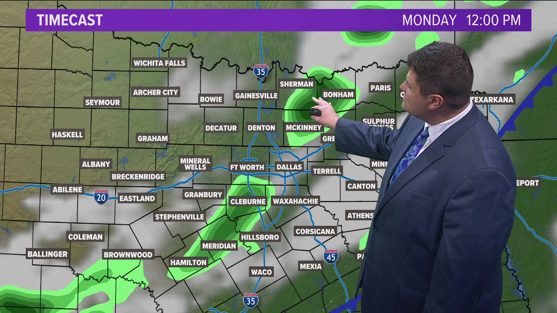
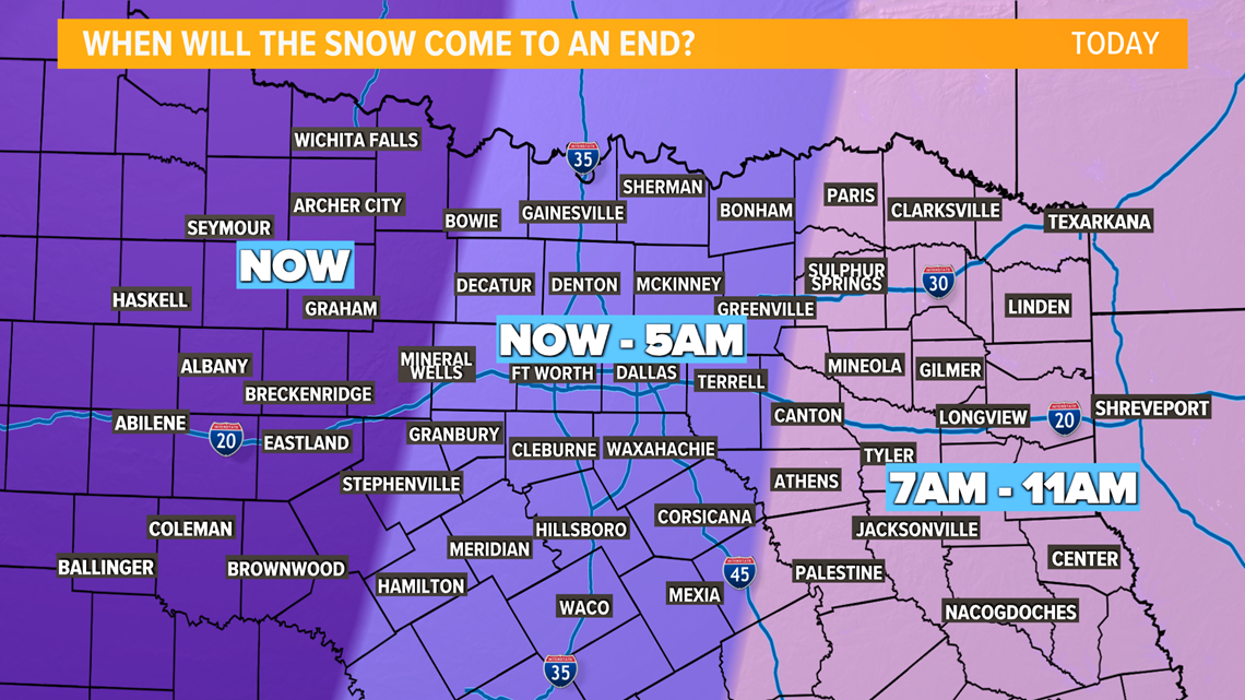
Snow will begin to move out from west to east this morning. Still expecting heavy snow this morning, especially for areas to the south and southeast of the Dallas-Fort Worth area.

Locations in East Texas could see snowfall rates 1.5" per hour before the snow moves out.
Extreme cold is here as well with wind chills outside already well below 0°.
Temps and wind chills will only continue to fall through the overnight hours into Monday morning.
Scroll down or keep reading for those details.
Unprecedented storm:

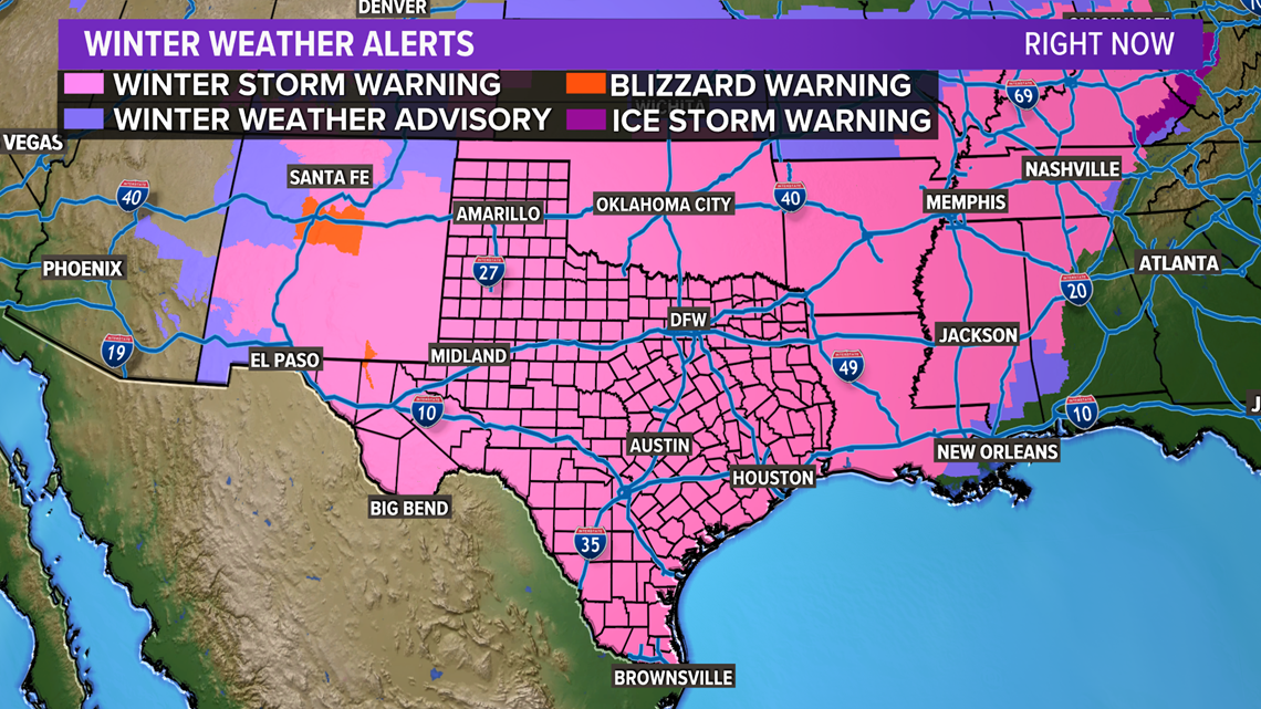
A Winter Storm Warning is in effect for all 254 counties in the state of Texas! This is something that may never happen again in your lifetime and there's a good chance has never happened before.
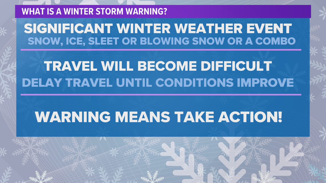
What is a Winter Storm Warning?
Heavy snow, ice, sleet, blowing snow or a combination of these is possible for your area under a Winter Storm Warning. Travel will become difficult or impossible in some situations. You should delay any travel plans until conditions improve.

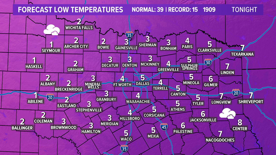
Not only will we see snow, but we will see bitter cold as well. Morning temps in the single digits Monday and Tuesday morning with wind chills well below 0° are likely.
RELATED: Check the radars
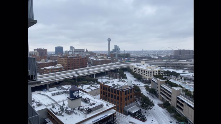
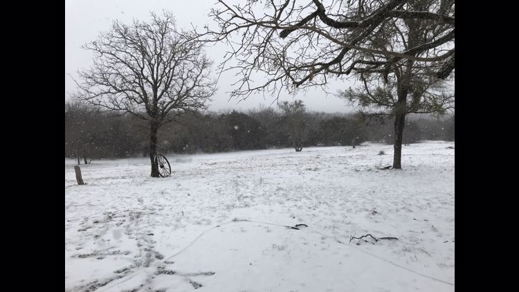
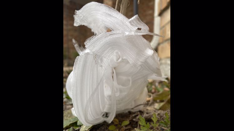
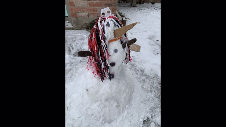
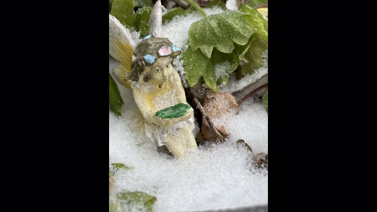
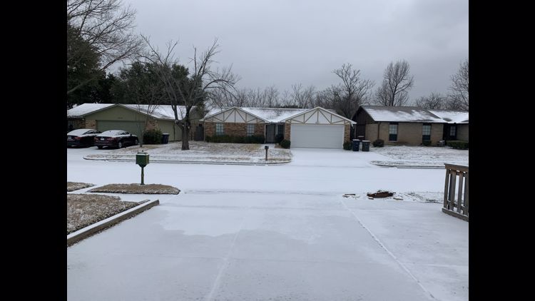
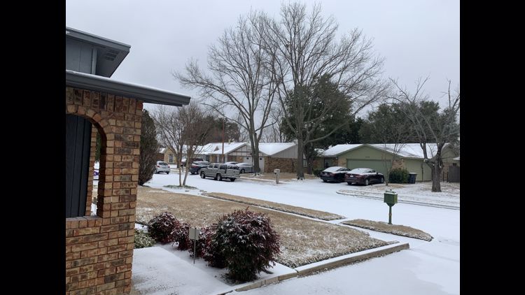
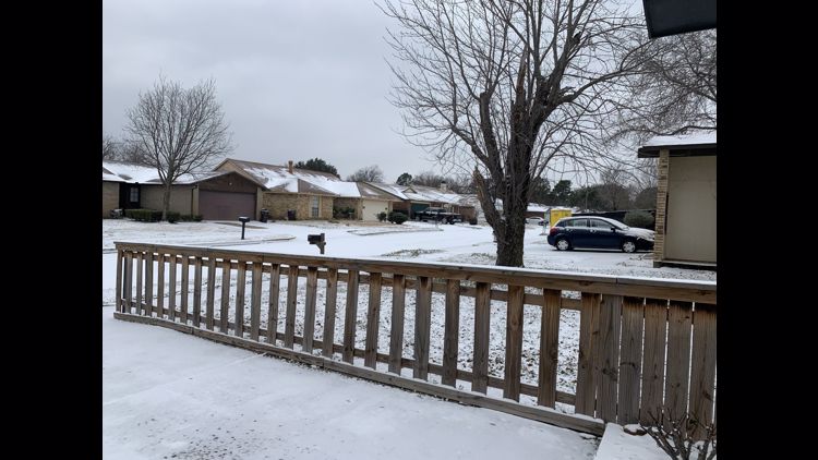
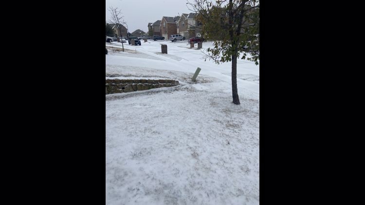
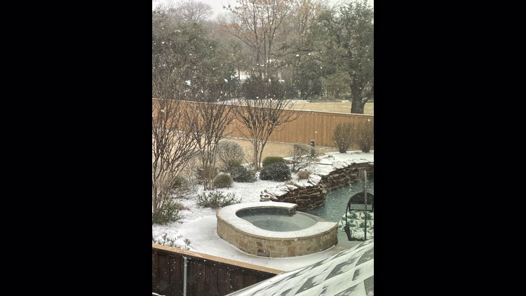
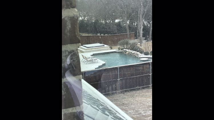
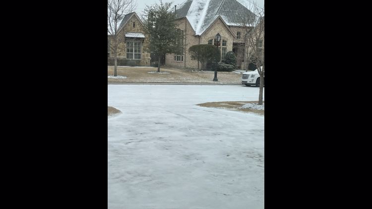
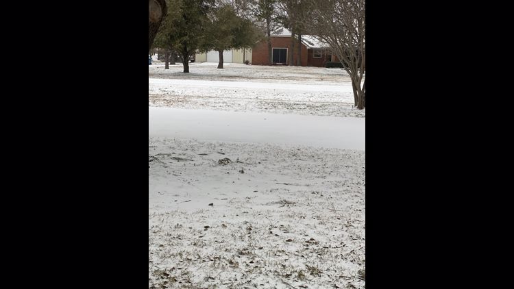
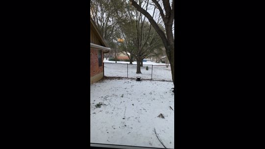
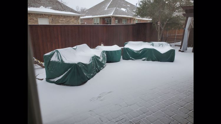
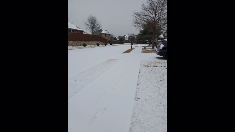
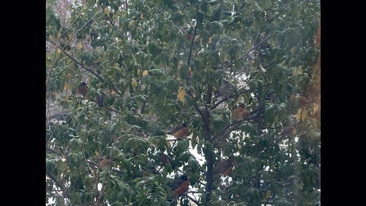
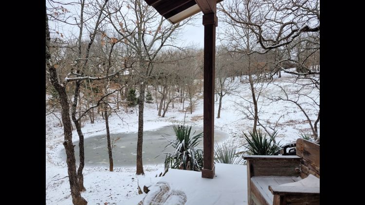
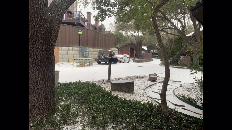
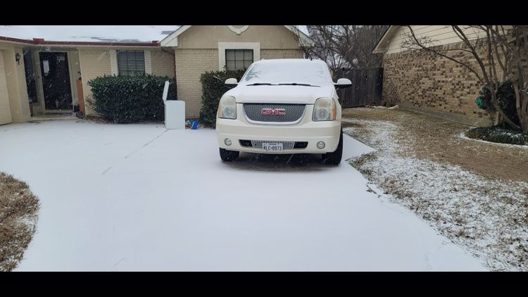
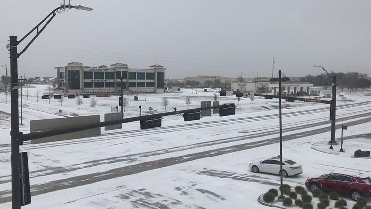
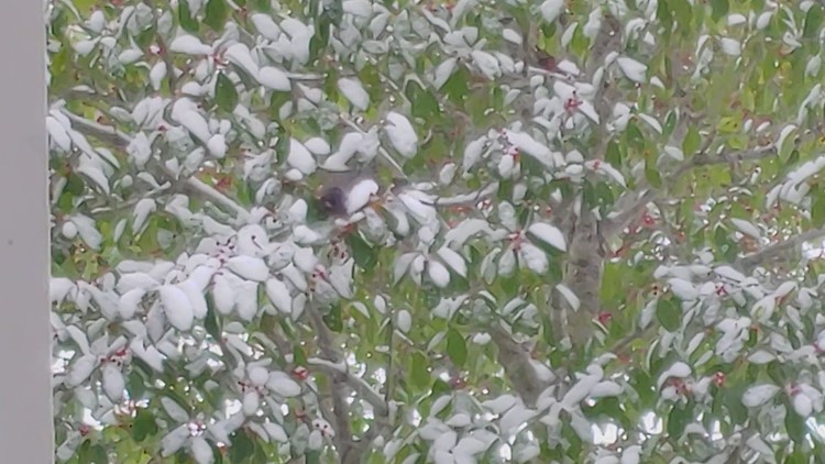
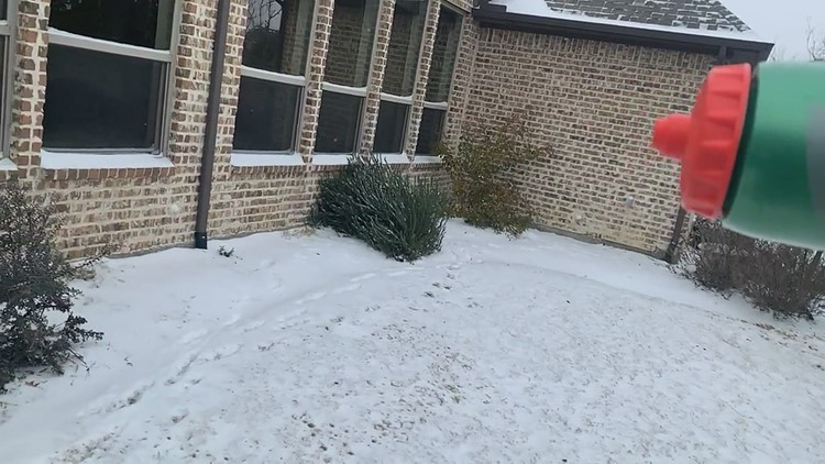
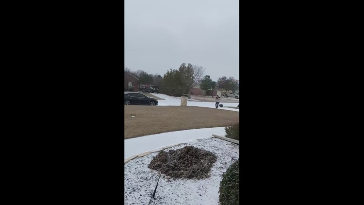
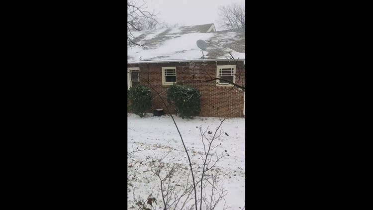
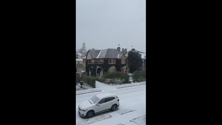
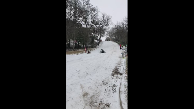
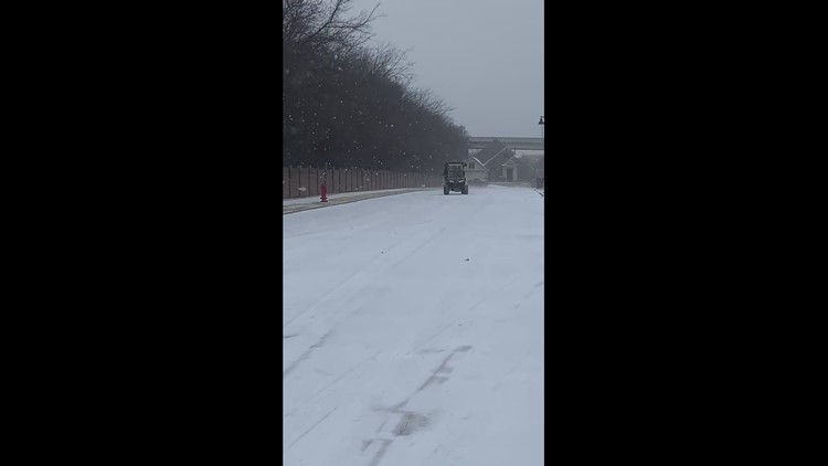
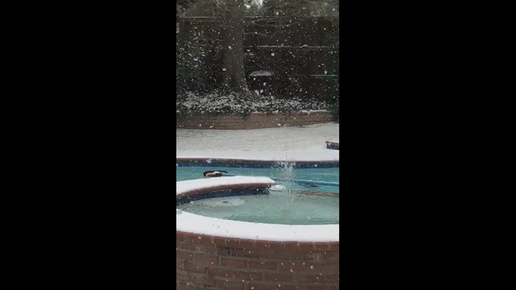
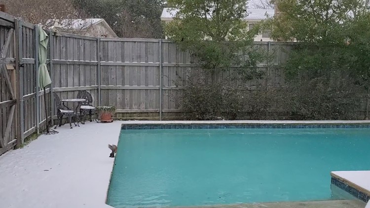
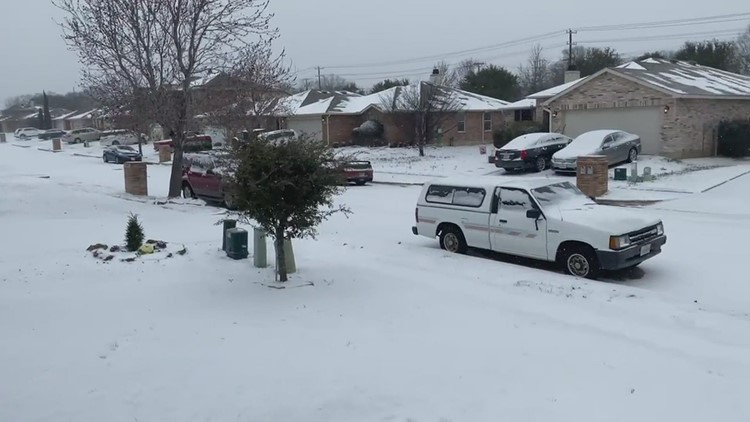
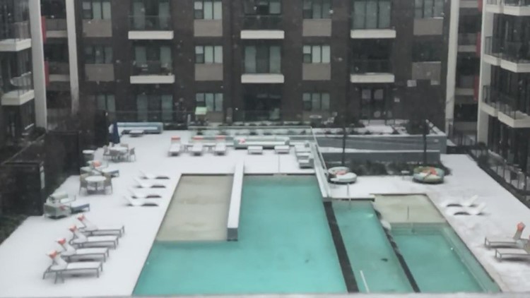
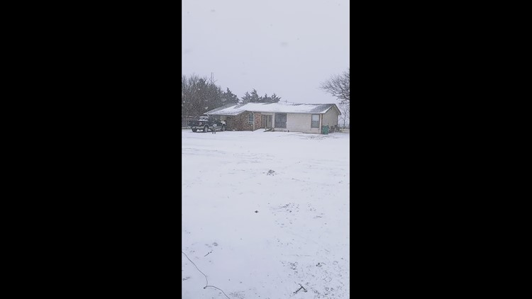
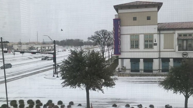
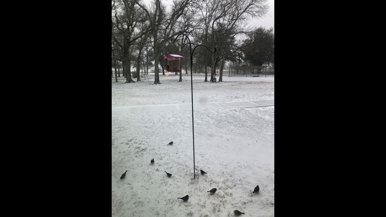
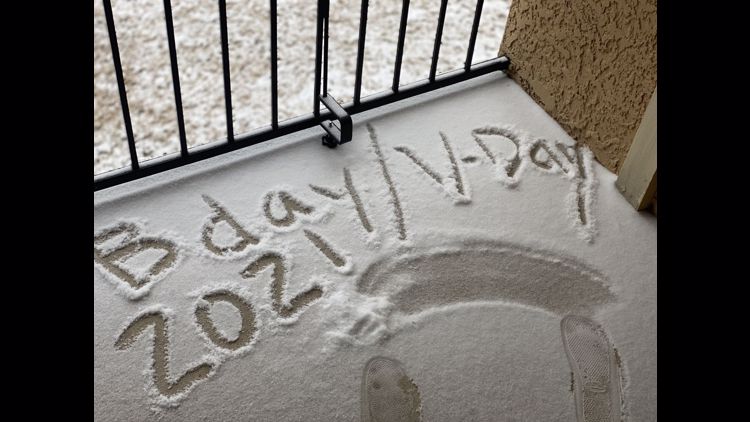
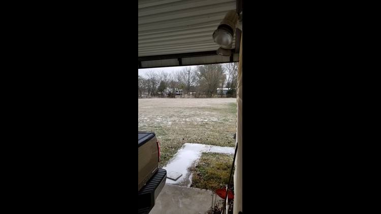
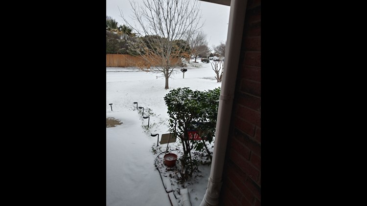
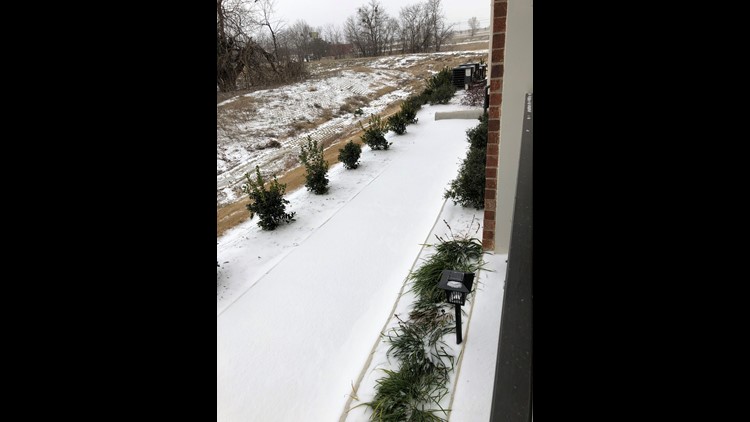
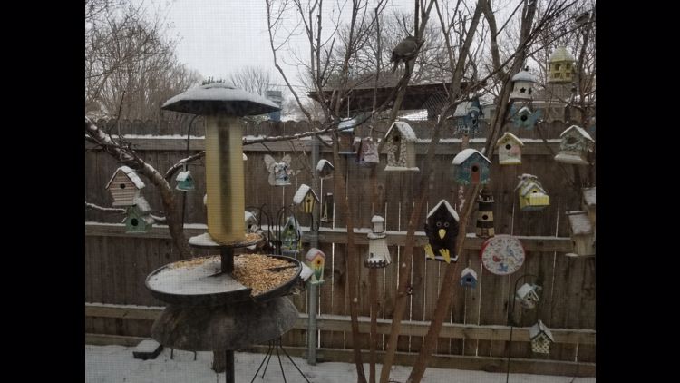
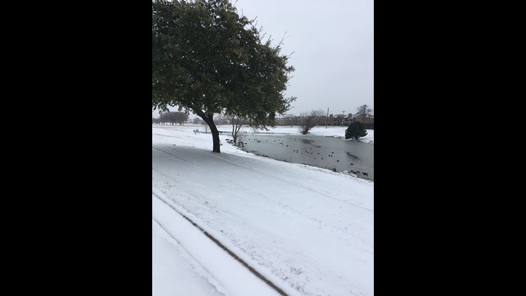
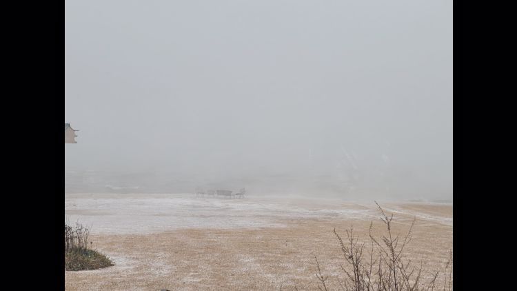
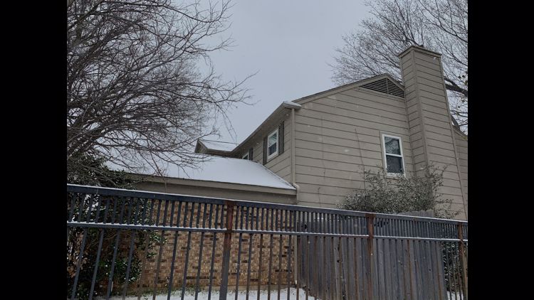
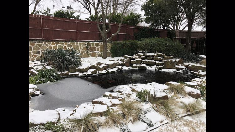
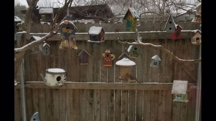
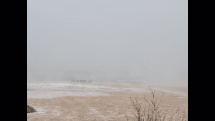
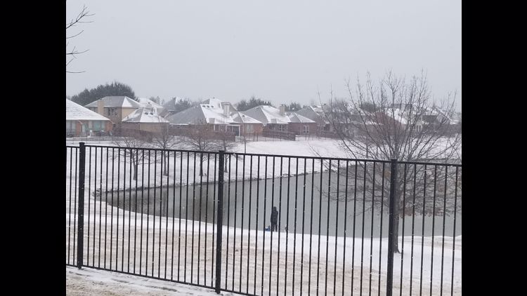
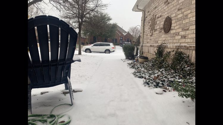
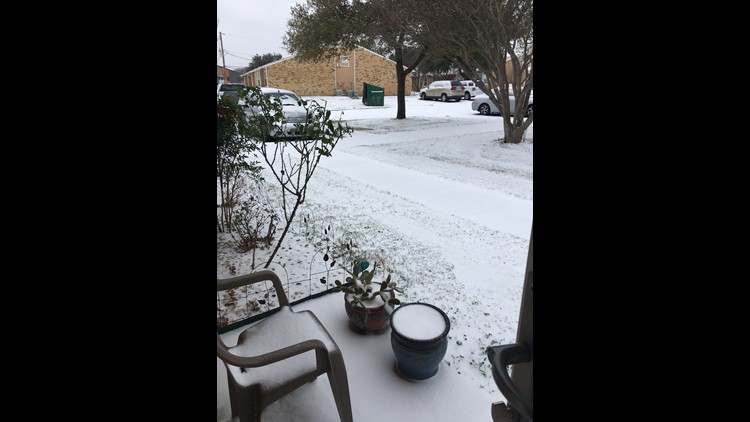
Snowscapes gallery: Views outside your window Sunday in North Texas


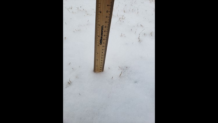


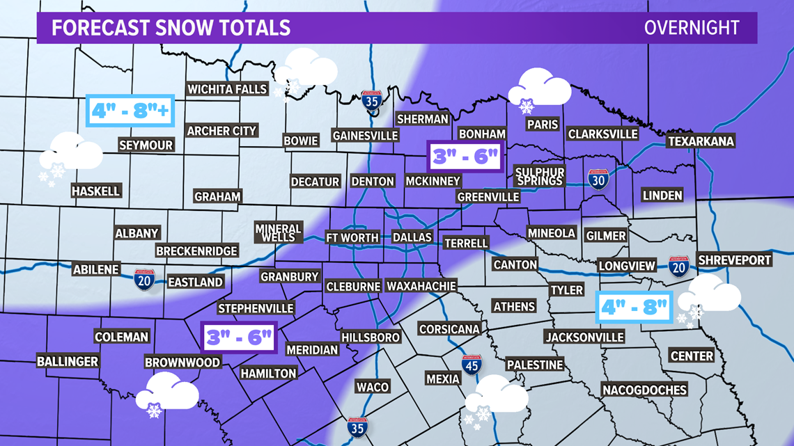
Totals once the snow moves out will range from 3 to 8 inches or more. The early totals we are seeing this morning are verifying these projections made prior to the storm moving in Saturday night.

Monday
Snow will end from west to east with most of North Texas starting the morning dry. The exception being far eastern/southeastern areas, which could see a little lingering snow first thing in the morning.
However, snow will be replaced by extreme cold.

The above image is the actual air temperature Monday morning, but we will still have winds gusting 20-30 mph. This will make it feel well below zero.

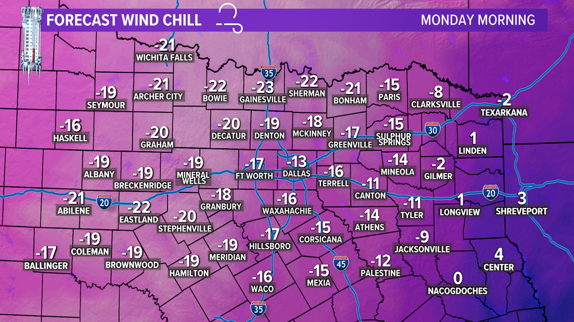
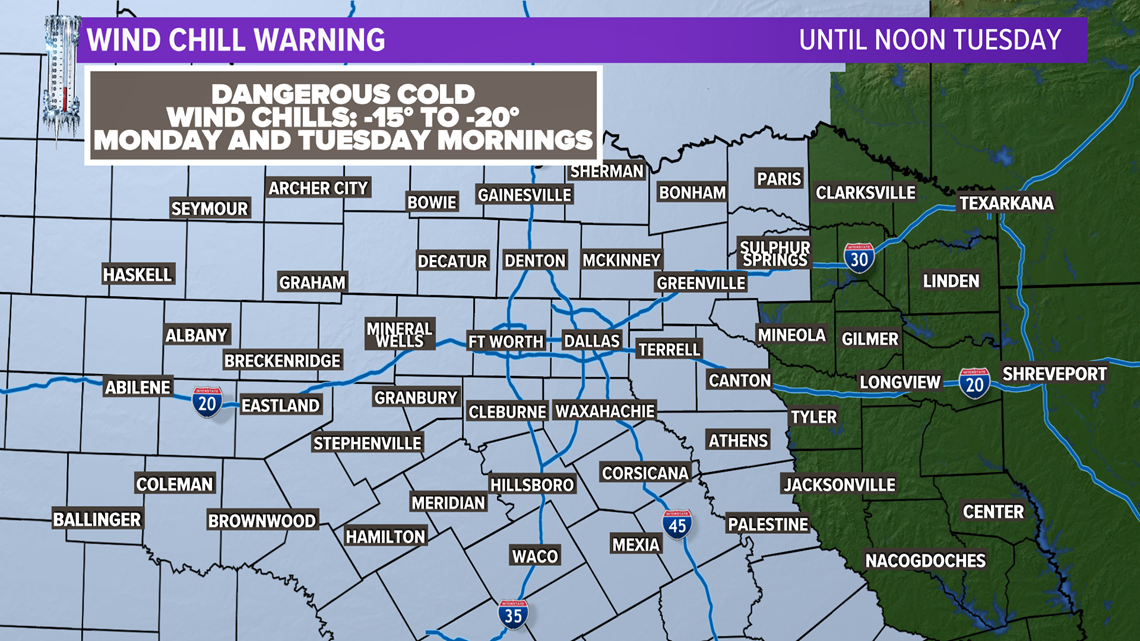
This is why a Wind Chill Warning is in place through Tuesday at noon.
With wind chills bottoming out between -15° and -20° Monday and Tuesday morning.

Highs on Monday will only be in the teens, and wind chill values will likely stay below 0° most of the day.
Snow from Sunday into Monday will not melt, so hazardous travel conditions will continue.
Coldest temps in decades
With fresh snow on the ground and arctic air in place, temps will continue to fall overnight Monday into Tuesday morning.

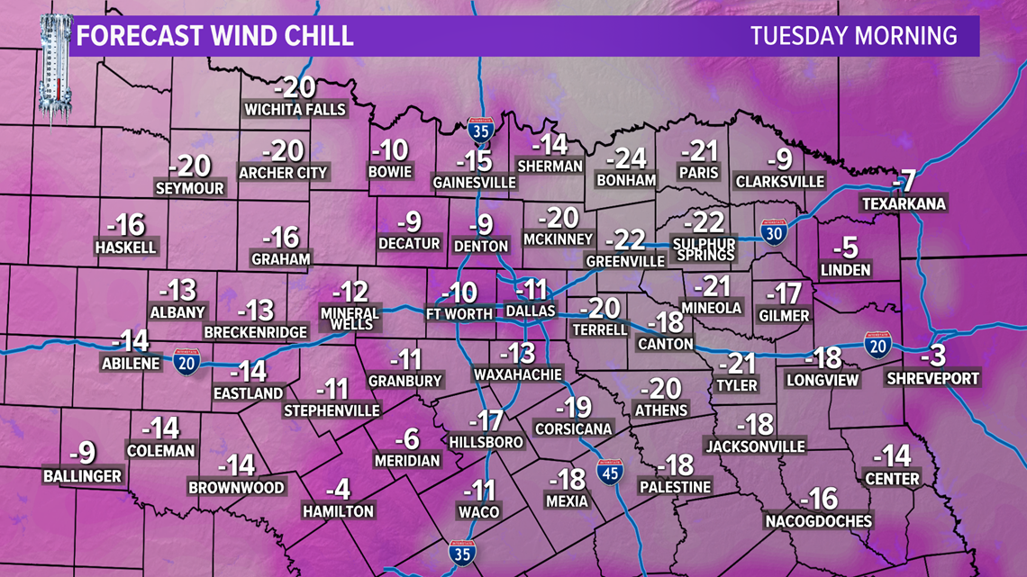
By Tuesday morning, temps will be well down in the single digits for all of North Texas, with some places across western and northwestern North Texas waking up to temps below 0°.
With temperatures that cold, any sort of breeze will make it feel much colder than the actual temperature and wind chills will be anywhere from -10° to -30° to start Tuesday.
Impacts
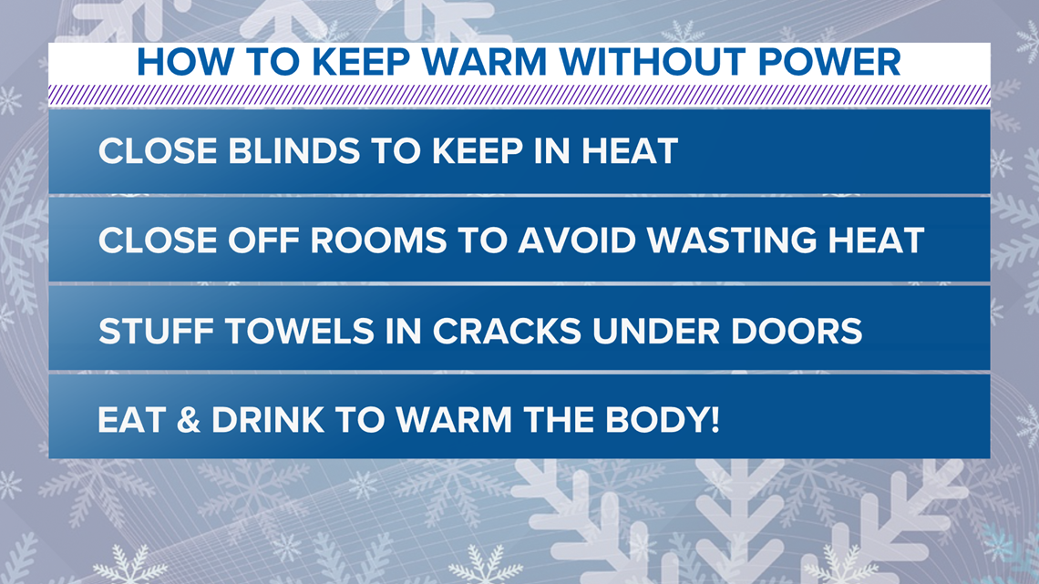
The power demand for North Texas, along with the rest of the state, will be testing the grid's limit. This will increase the possibility for power outages. If you lose power here are a few steps to keep you and your family warm and safe. Close any blinds/curtains, close off rooms to avoid losing heat, wear layers of loose fitting, warm clothing, eat and drink food to provide energy to warm the body! No alcohol and caffeine are not suggested!

Record cold temperatures for several days will cause many pipes to freeze and break, even including some that aren't directly exposed to air. Please do your best to conserve power and protect your pipes during these extreme cold conditions.
Wednesday
Another winter storm is likely Tuesday night into Wednesday in North Texas.

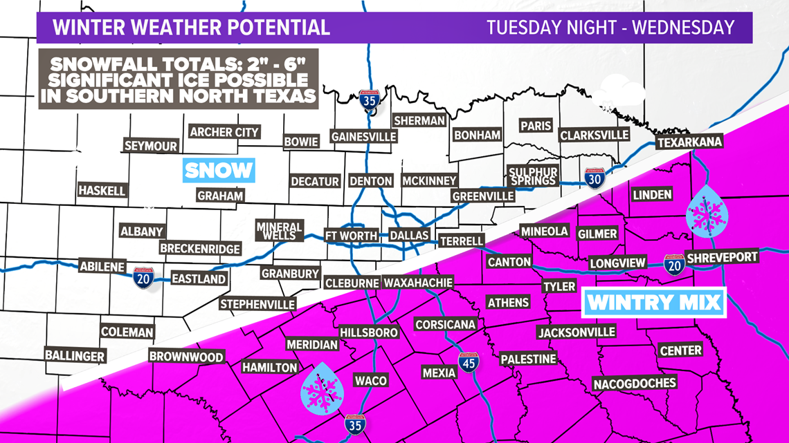
Exact details are uncertain, but snow amounts in areas that see just snow could be just as much as what we are seeing with this first round.
However, there is more concern for ice with this next storm. Right now, the southern half of North Texas has a chance for just sleet or freezing rain or a wintry mix. Significant icing may occur in this area. Stay tuned for updates because wherever that wintry mix/snow line ends up will greatly determine what you see.
Even though we aren't out of the woods yet with this storm, it is never too early to start thinking about the next one.
Remember to download the WFAA app to check one of our dozens of local radars near you as well as the latest forecast, cameras and current conditions.