This story has been updated throughout to reflect current conditions as of 7:40 a.m. Tuesday.
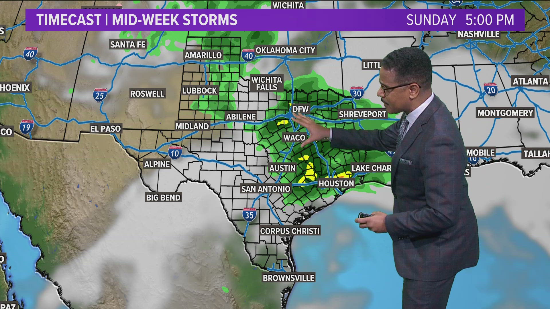
Hail was reported across the Dallas-Fort Worth area Tuesday morning as pop-up storms moved through the area starting around 5 a.m. The storms lasted until around 7:15 a.m.
Severe thunderstorm warnings and weather advisories were in effect for a number of counties across the region throughout the morning but have all since expired.
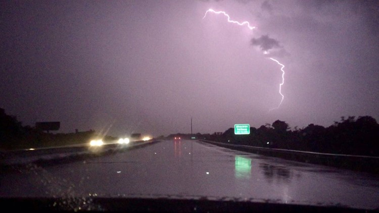
The storms brought frequent heavy lightning and rain with them, along with hail.
The hail got quite large, some reported as large as 1.5 inches across, and plenty of golf-ball size pieces coming down in the area.
Some of the worst of the hail was seen north of Fort Worth along Interstate 35W, through to Arlington and into Cedar Hill and Mansfield.
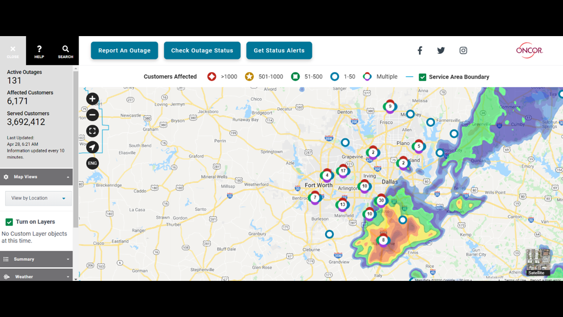
Nearly 11,000 Oncor customers were without power as of 5:50 a.m. with 87 active outages reported. By 6:20 a.m., that number had dropped down to a little more than 6,000 customers with 131 active outages.

Severe storms are expected again across the entire North Texas region later Tuesday afternoon and evening. That round of storms could bring strong winds, hail and an isolated tornado. Strong wind gusts could reach around 60 to 70 mph.
To check your local radar, click here. For a wider look at the forecast, click here.
More on WFAA: