TEXAS, USA — Be sure to download the WFAA app to track the latest forecast and get alerts from our team.
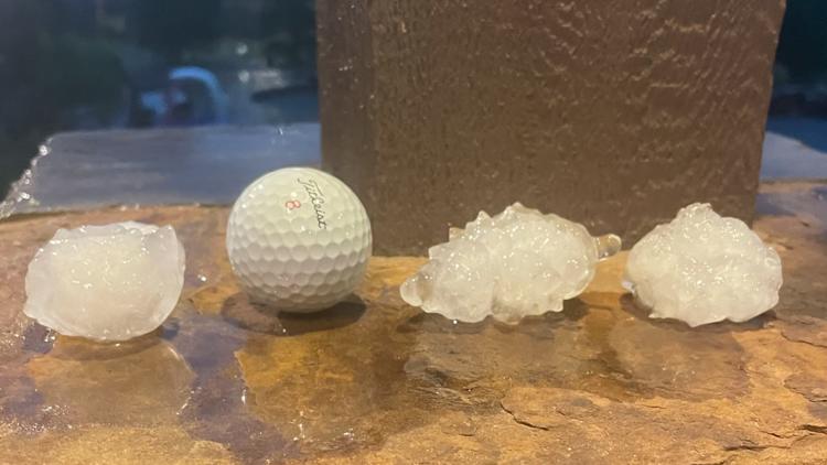
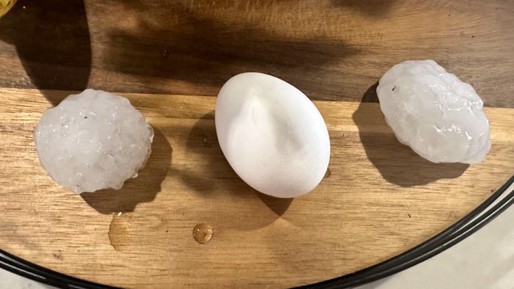
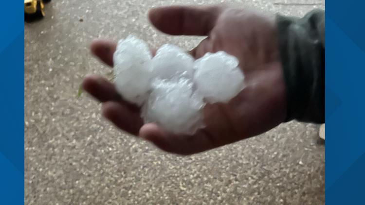
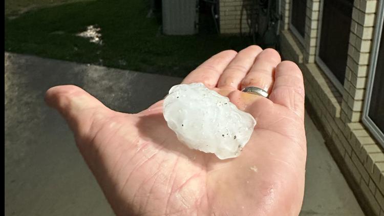
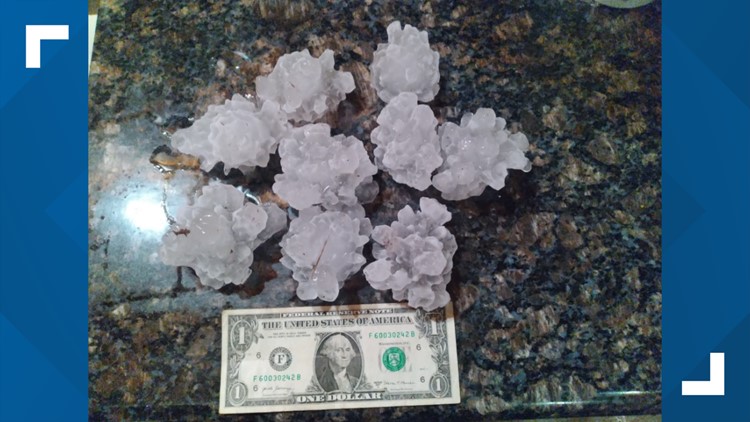
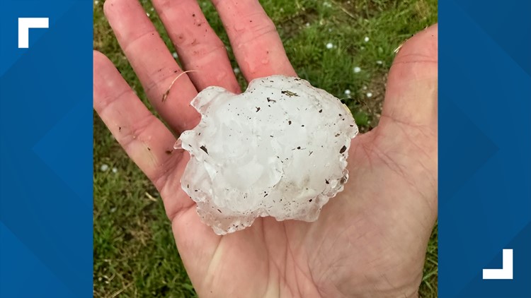
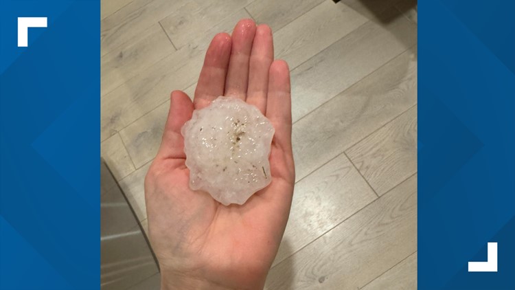
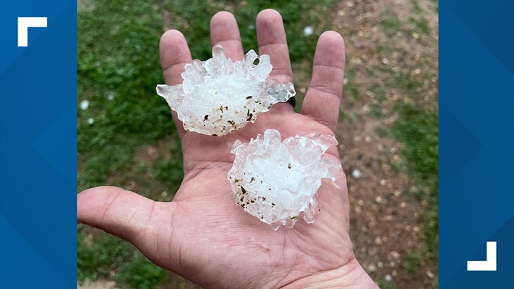
It was no April Fools' joke when golf ball-size hail pelted cities across North Texas on Monday evening.
Much of the Dallas-Fort Worth metroplex was under a Severe Thunderstorm Watch on Monday night. Western parts of the Metroplex saw hail the size of golf balls and larger.
Hail of this size can damage windows, siding and roofs, cause serious damage to cars,and even cause bodily injury.
A new Severe Thunderstorm Watch has been issued until 1 a.m. for areas east of DFW into East Texas.
Below are images of the large hail shared by WFAA viewers.
PHOTOS: Hail hit cities across North Texas


Denton and Johnson County activated its outdoor warning sirens due to a tornado warning and golf ball-size hail reports around the area. Jamie Moore with Emergency Management in Johnson County told WFAA there was a significant number of downed power lines including Alvarado and Venus.
Windows were blown out at some commercial structures on the north side of Cleburne. Moore told WFAA there were no reports of injuries at this time.