
CLEBURNE, Texas — Hours after the rain stopped, it was still a mess in parts of Johnson County Wednesday.
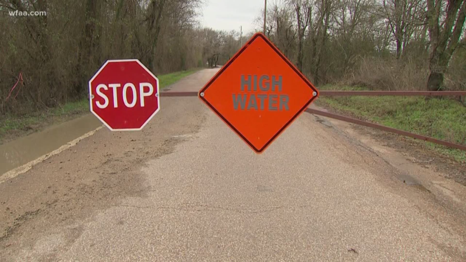
County Road 1112, known as "Old Foamy," was one of more than a dozen roads that had to be closed because of high water. It's water that can wash you or your car away at just two-feet deep, said Johnson County Emergency Management director Jamie Moore.
"There was no water over this road at probably 6:00 this morning and by 7:30, 7:45, this road was completely shut down," he said.
While some might have discovered that the hard way — by getting turned around on their way to work — there's no reason that has to happen. Johnson County has its own app, called "Emergency Ops Center." In events like Wednesday morning's rain, it'll list out in real-time what roads are closed. You can then click each pinpoint for more information on the closure.
"We don’t use it just for road closures," Moore said. "We use it a lot for emergencies as well. So, structure fires, vehicle accidents that impact major roadways."
Tornadoes, too.
The app's been downloaded thousands of times, Moore said. He hopes people are using it, in addition to social media, to stay safe.
"We hope this is informing the public," he said. "We know with an informed public, they make smart decisions."
Moore said he doesn't know of another county that has an app like this.
Apple users can download the app here. Android users can download the app here. And remember to download the WFAA app to check one of our dozens of local radars near you as well as the latest forecast, cameras and current conditions.
More on WFAA:
- What to do before, during and after a severe storm
- There are new Texas laws now in effect that you need to know about
- Deadly storms, deep freezes, raging wildfires: How 2019's wild weather impacted US
- Do you have storm damage? Here's what to do, how to avoid scams
- WATCH: Video shows the impact of Imelda's flooding rains in Beaumont