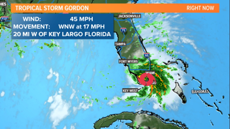
Tropical Storm Gordon has formed near the Florida Keys this morning. As of now it has maximum sustained winds of 45 mph, and is bringing rounds of heavy rain and gusty winds to southern Florida.
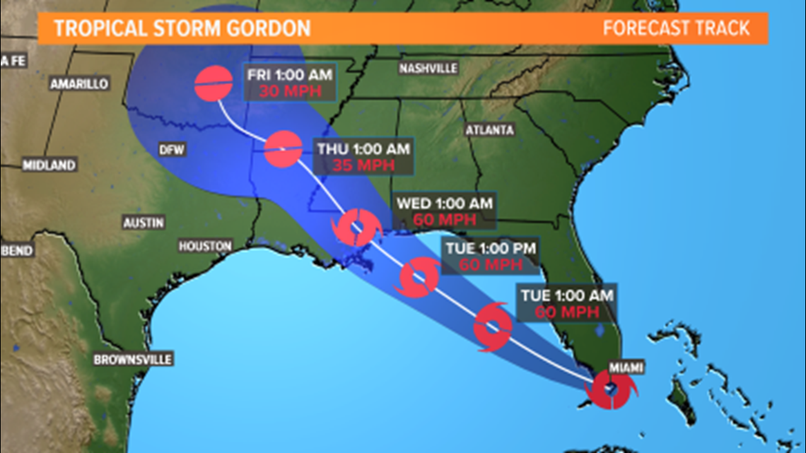
This storm will move into the Gulf of Mexico today and track northwest. It will likely strengthen a bit, but still stay a tropical storm. After moving northwest, the next landfall for Gordon will likely be somewhere in southeastern Louisiana or southern Mississippi. Heavy rain causing flooding and gusty winds will be the main threats for the gulf coast states. Some minor storm surge could occur along the gulf coast as well.


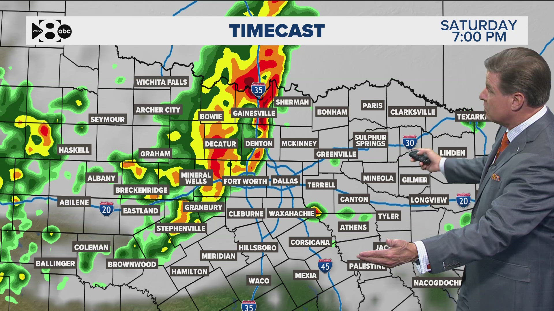
After making landfall somewhere near Louisiana or Mississippi, Gordon will weaken but continue to move northwest. This means the remnants of Gordon could move close to the Ark-La-Tex or possibly even into northeastern Texas by late Thursday into Friday. The exact path it will take after making landfall is still very uncertain. We will be watching the track closely because the closer the remnants get to North Texas, the higher coverage of rain we could see. Since the storm will have weakened, the main threats for North Texas will be heavy, tropical rains. Some gusty winds could still occur, but that would be a secondary threat.


