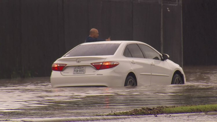
With a rainy pattern expected through North Texas and past heavy rainfall already filling local lakes and rivers, and saturating the ground, flooding will be a concern in the region for much of the week.
The Texas Department of Transportation's map of highway conditions includes information about flooding on roadways.
To filter out the flooded roadways:
1. Click "Default Location
2. Toggle off "Construction" and "Damage," and toggle on "Closures" and "Flood"
3. Click "Hide Menu" at the bottom.
Once the menu is hidden, you will see "Show Menu" at the bottom right, which you can click to adjust the view.
The map may reset the settings if you have the page open for an extended period of time and you may have to set up the filters again.
RELATED: Click here for the full map