DALLAS — Several high-temperature records have been broken this summer. The heat is just not letting up in North Texas! But some relief is arriving soon. Here's the latest outlook:
Quick facts
- Triple digit heat expected Saturday & Sunday.
- Spotty to scattered showers and storms possible Saturday through Monday
- A cool front will drop temperatures into the 90s for the upcoming workweek
Hottest day of the summer
On Friday, DFW hit 110° for the 7th time in on record. And was the first time hitting 110° or hotter since the dreadful summer of 2011. Friday's high of 110° is the 4th hottest temperature on record for DFW International Airport.

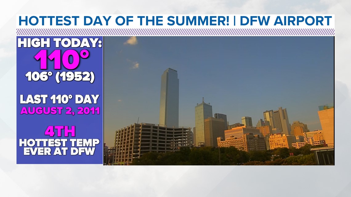
So far in this summer of 2023, DFW has hit 100° or hotter 45 times. That's more than double the average for a summer. While it is not more than last summer just yet, it is the 8th most on record.


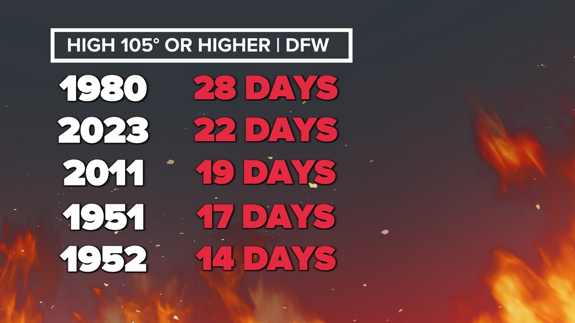
While this summer may not end up being the hottest on record overall, the heat has been quite intense the second half of this summer. DFW is now 2nd only to 1980 in the number of days with highs at or above 105°

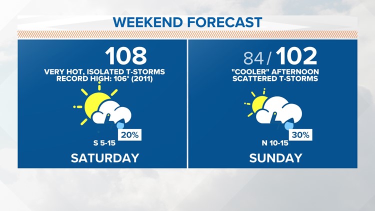
Weekend heat and rain chances
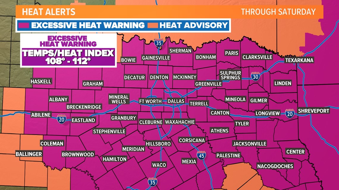
Saturday will be another day of record heat with highs well above 100° and another Excessive Heat Warning in effect.
The record high for DFW is 106° set in 2011. Saturday's high will likely be somewhere between 106° and 108°.

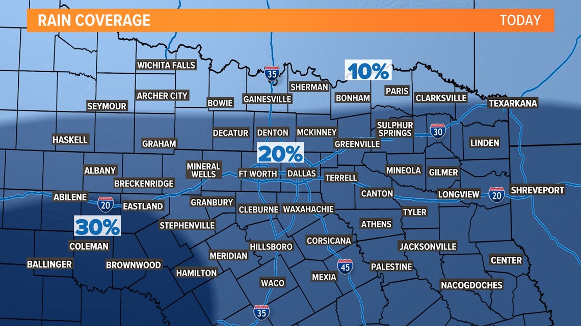
During the heat of the day, some pop-up showers and storms will be possible, but don't count on seeing rain! Any rain will be more miss than hit, so consider yourself very lucky if you happen to see a shower or storm.

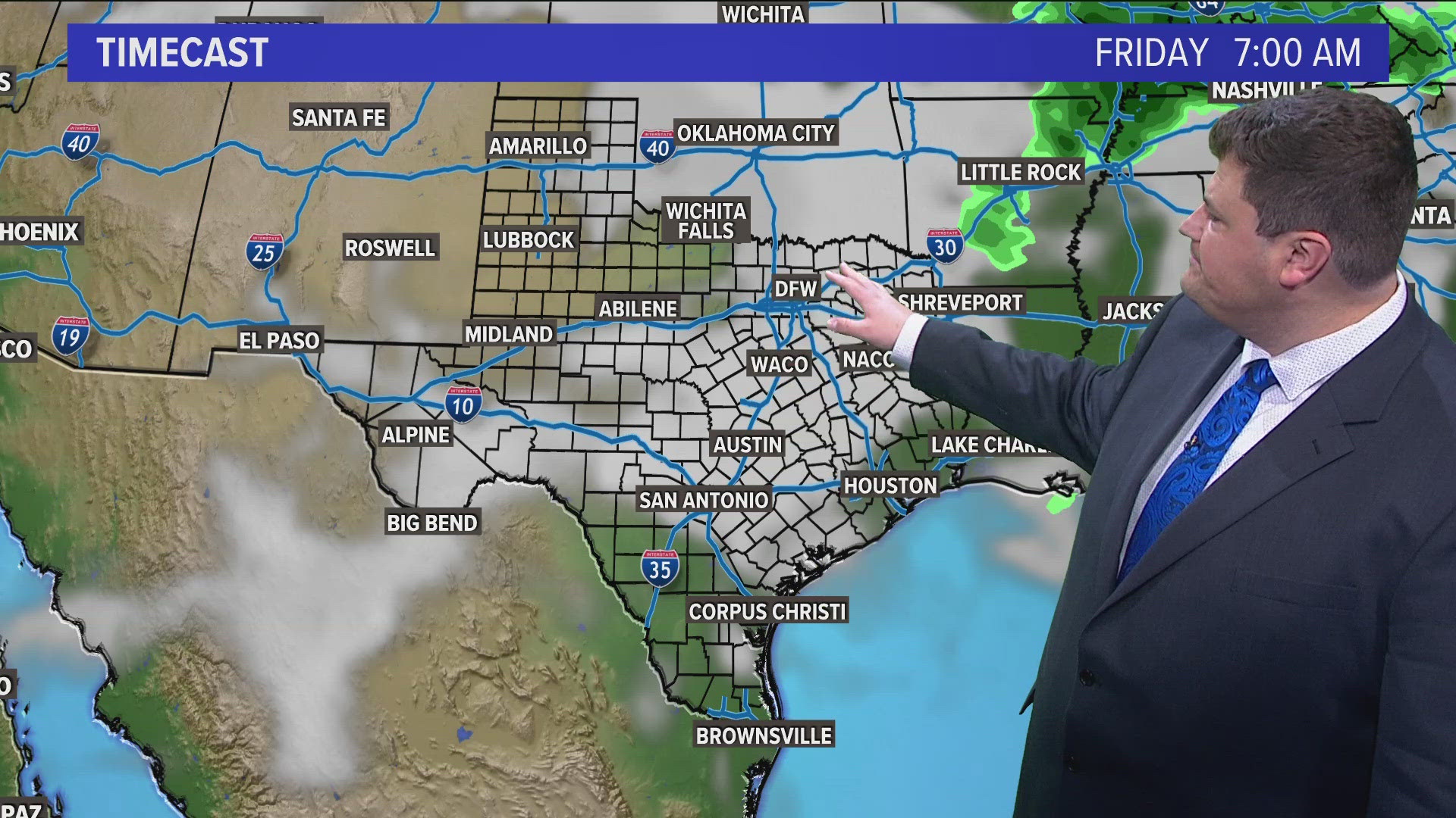
Sunday does bring some changes! A "cold" front will be moving through the area bringing slightly cooler temps to areas from DFW to the north. DFW may still hit 100° or hotter, but it could be close.
That front will also provide the focus for some showers and storms with highest coverage in areas south of DFW. Once again not everyone will see rain so enjoy it if you see it.


Fire danger and burn bans continue
Elevated fire danger will continue for all of North Texas for the foreseeable future. Because of ongoing drought, hot temps, low humidity, and breezy conditions, any fires that get started could spread quickly.
Please continue to practice fire safety!


All of these locations are under burn bans, so please respect those burn bans. Also, use extreme caution with anything that causes sparks or open flames.


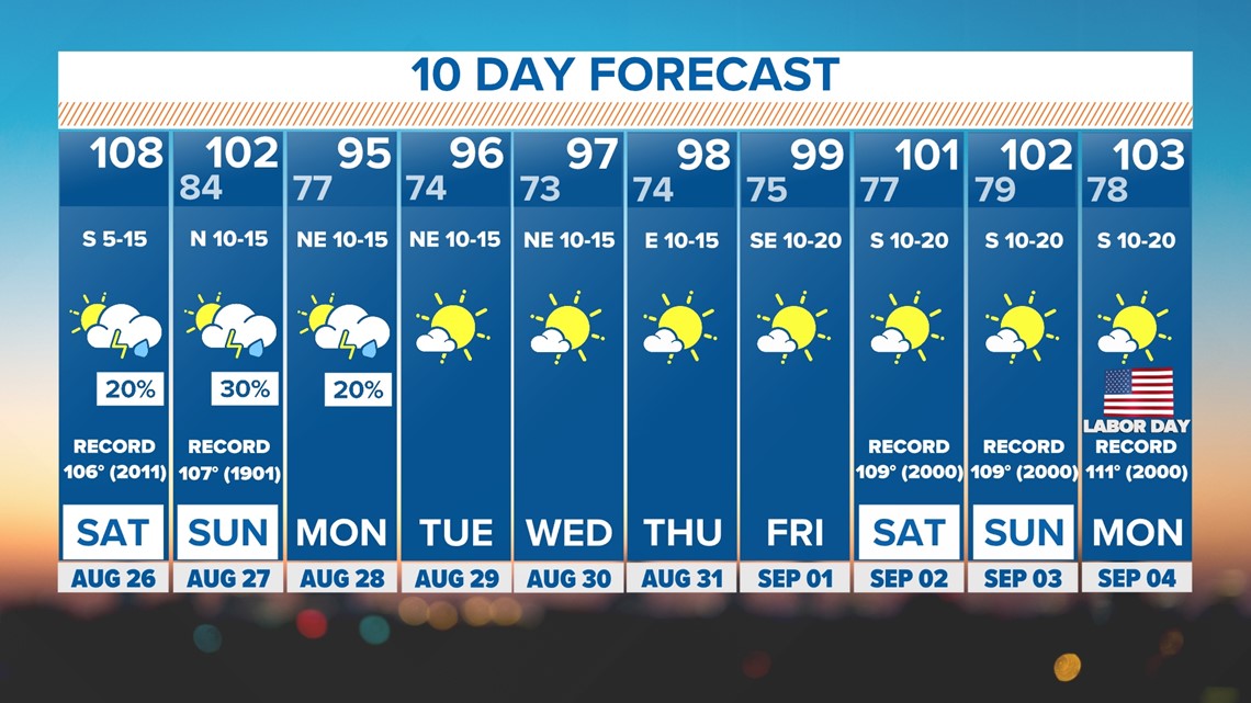
10 Day Forecast
The "cold" front arriving on Sunday should knock down highs into the 90s for most of the upcoming workweek! While will still be hot, we'll get a break from the record heat and triple digits. The mornings will also be much more comfortable will lows well down in the 70s. Unfortunately, 100s look like they will make a return for Labor Day Weekend.