
It's the last weekend of summer break for a lot of North Texans, and most places will just see typical August heat and humidity Friday through the weekend. However, shower and storm chances aren't zero.
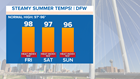
Highs Friday, Saturday, and Sunday will be in the mid to upper 90s in most locations. But when you factor in the humidity, it will feel like above 100 degrees for most during the afternoon. While not unprecedented heat, the heat and humidity will be high enough to warrant being careful if outdoors. Make sure to stay hydrated, and have a way to stay cool if you have outdoor plans.
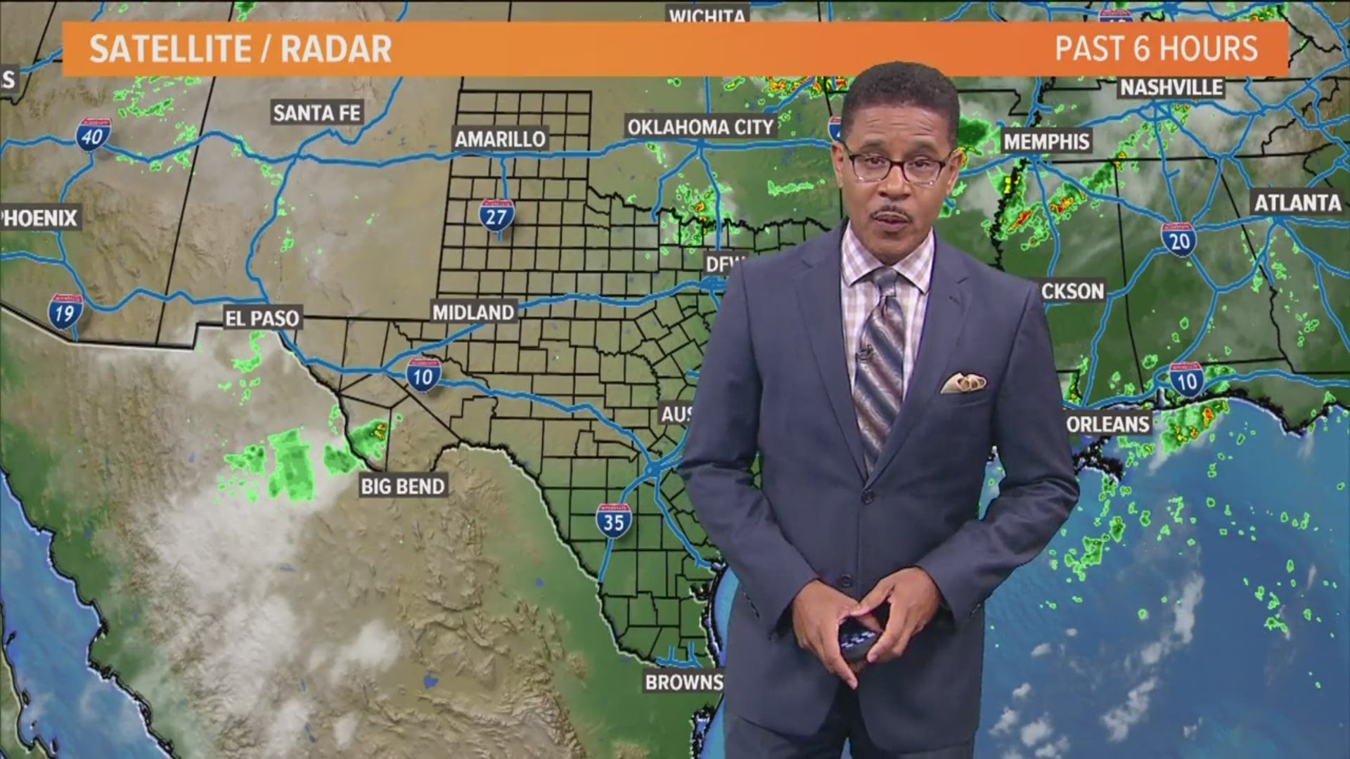
Now showers and storm chances are not zero Friday and through the weekend, but most places will be dry. Spotty showers or storms are possible Friday, Saturday and Sunday.

Friday, the best coverage will be along the Red River (30 percent) with lower coverage for the D-FW area (10 percent southern D-FW, 20 percent northern). A few storms along the Red River could become severe with isolated damaging wind gusts, but the overall severe threat is low.
Shower and storm chances are similar Saturday and Sunday as well with isolated to spotty rain in North Texas. Most places will not see rain. This is not the widespread, soaking rain we saw last week and last weekend.
Monday is back to school for quite a few North Texas school districts. An approaching summertime cold front will give the chance for scattered showers and storms on Monday, so the bus ride and school commute could be wet during the morning or afternoon.
That summertime front will knock high temps back down below normal for most of next week, which will be very welcome for August.