

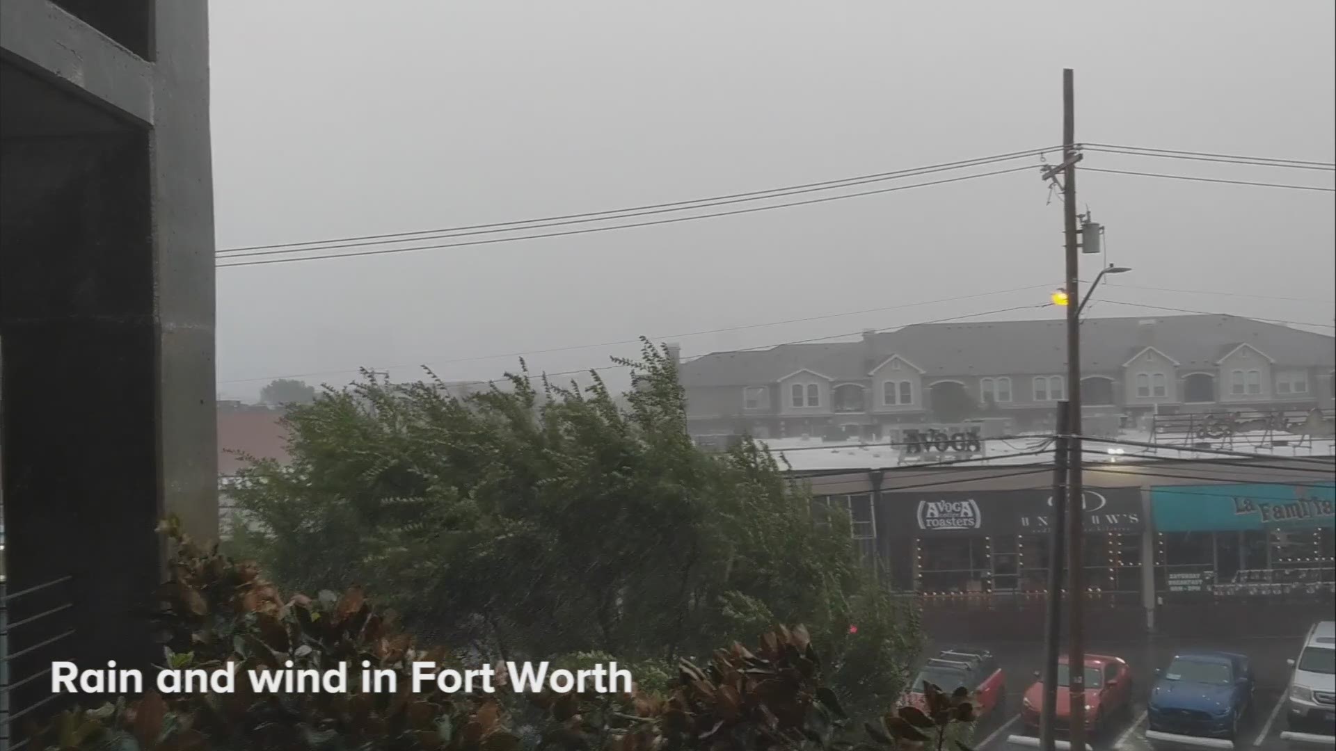
A large band of storms brought heavy wind and rain and the potential for severe weather across North Texas on Monday.
The storms – the strongest of which were moving northeast through Denton County – carried risks of 50-60 mph winds, localized flooding and even the possibility of isolated tornadoes. The showers and storms were expected to continue through sunset, but the threat of severe weather was expected to lessen.
The National Weather Service issued a flood advisory for the North Texas area until 7:15 p.m. Denton, Parker, Tarrant and Wise counties were getting drenched with heavy rain most of the day, increasing the flooding risk.
Dallas-Fort Worth Airport was experiencing delays of about two hours, on average, while Dallas Love Field was also experiencing similar delays.
Scattered showers have moved through North Texas over the last several days, but Monday's atmosphere was more "tropical-like," bringing higher risk of severe storms. Check back for updates throughout the day.

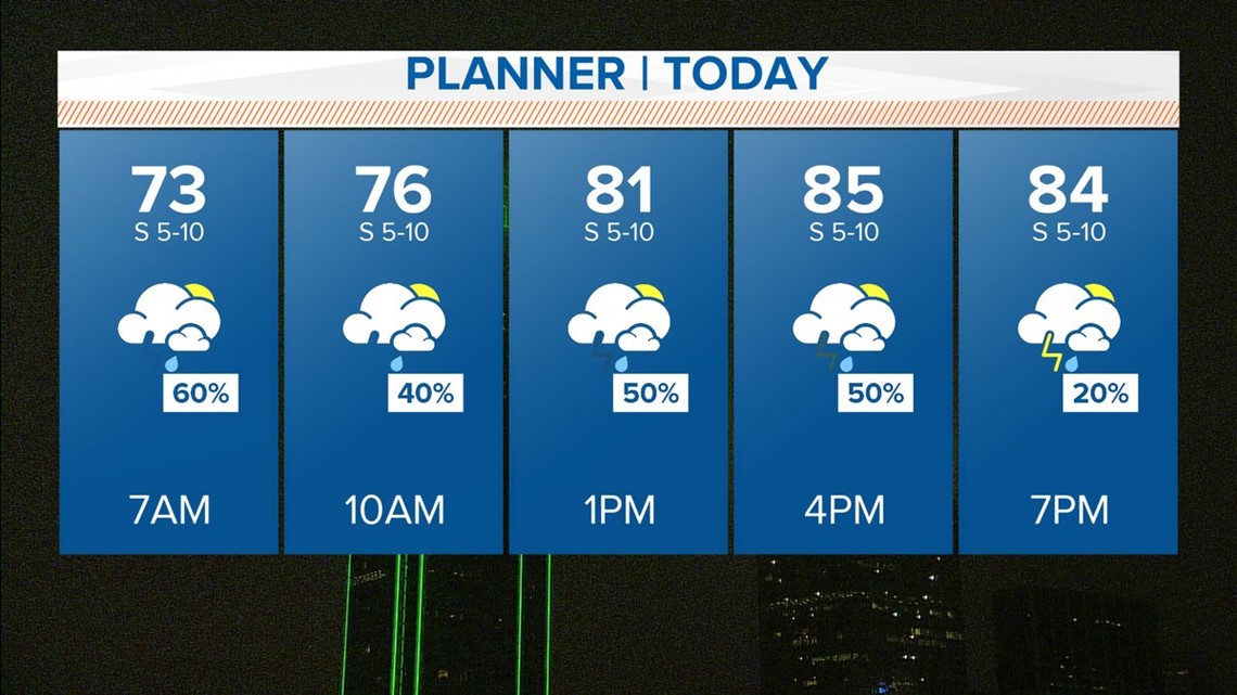
TUESDAY:
The morning commute may be wet with scattered showers continuing. Rain chances will taper off during the afternoon. Highs will be near 90°.
WEDNESDAY – FRIDAY:
Rain chances all but dry up and temperatures will climb back to near seasonal normal. Highs will be in the mid-upper 90s and lows in the upper 70s.
Click to check a WFAA radar near you.