
August heat is here to stay!
It's one more hot and humid day with triple-digit high temperatures and a heat index approaching 110 degrees. A heat advisory for North Texas continues until 8 p.m.
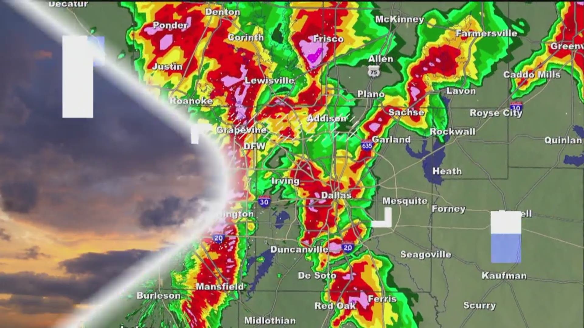
A few isolated showers and storms may develop northwest of the Metroplex by late Tuesday afternoon.
Better rain chances arrive after midnight with the cold front and upper-level disturbance. Coverage of the showers and storms will be about 40% to 50%. Rain chances will begin tapering early in the day. Not everyone will see rain.
Temperatures will "cool" down slightly with highs in the mid-90s on Wednesday afternoon.
The triple-digit temperatures return by early next week.
TODAY: Sunny skies and very hot. Isolated t-storms possible late this afternoon (20%). Winds: S/E 5-10. High: 101.
TONIGHT: Partly cloudy with scattered showers or storms (50%) possible. Winds: NE 5-10. Low: 80.
WEDNESDAY: Partly cloudy with scattered showers or storms (40%) before Midday. Winds: NE 5-10. High: 94.
Remember to download the WFAA app to check one of our dozens of local radars near you as well as the latest forecast, cameras and current conditions.
Check Weather Alerts here.