
DALLAS — Most of North Texas will not see significant precipitation on Friday, but lake effect snow is happening in a few places.
There were reports midmorning of areas downwind of some local lakes experiencing light to moderate snow. This snowfall is very localized but has been reported near numerous lakes in the region.
It is even enough to pick up a quick dusting or up to 1 inch in places.
It's a phenomenon more common to the Great Lakes region than Texas, so here's what those of us in the south need to know about it.
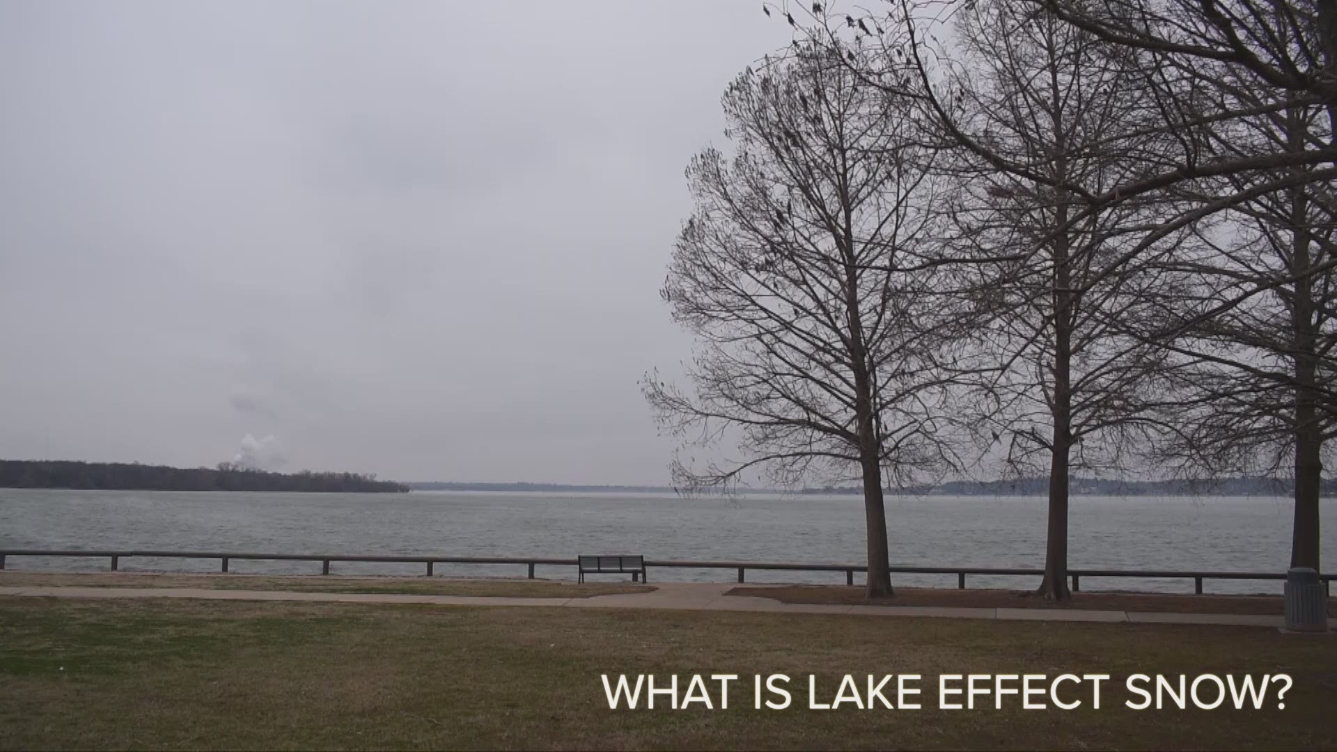
What is lake effect snow?
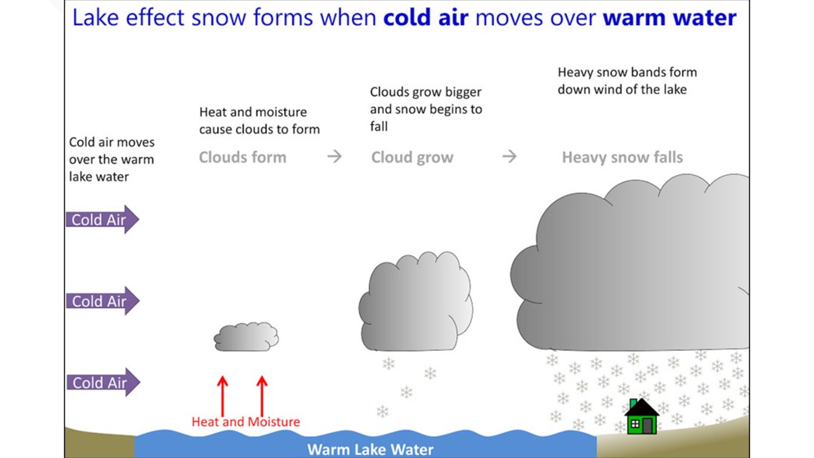
This occurs when cold air passes over an open body of water. As the air passes over the warmer lake water, warmth and moisture are transferred to the low layer of the atmosphere.
As the air rises, clouds form and can produce snowfall.
Wind plays a key role in determining what areas will experience the lake effect.
Winds are out of the north in North Texas right now, which means the best chances to see lake effect snow will be those that are south of any major body of water.
For the rest of North Texas, most of Friday will be cloudy and very cold. Here's what you need to know about the coming days.

Remember to download the WFAA app to check one of our dozens of local radars near you as well as the latest forecast, cameras and current conditions.